Along the Air Line... 2018-2019 - Winter, Part 4 The Air Line Trail in Eastern Connecticut - Stan Malcolm Photos |
HOME: Air Line... 2019 Pages Menu Stan's FlickR Albums |
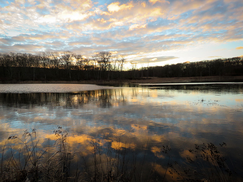
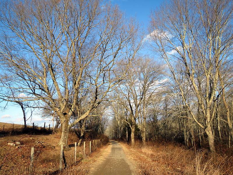
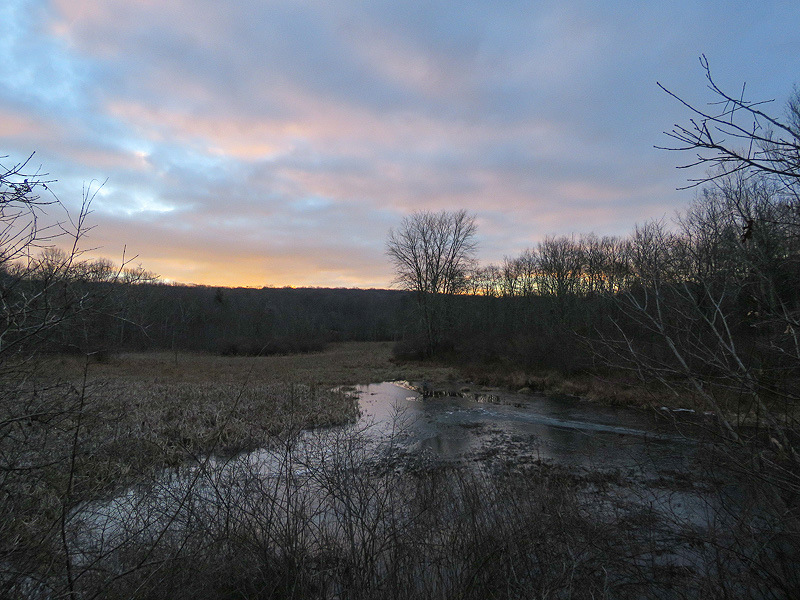
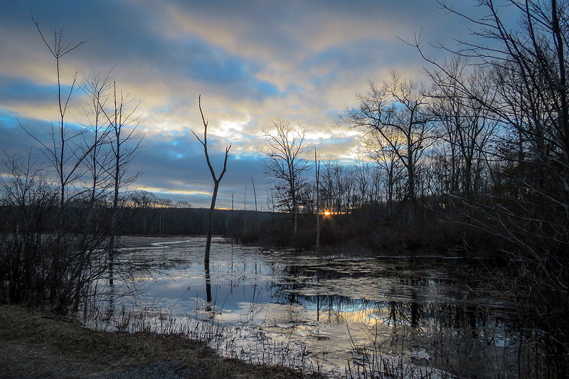
January 9th. Just a little color... |
...on the north side, away from the dawn. |
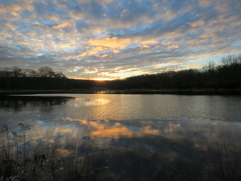
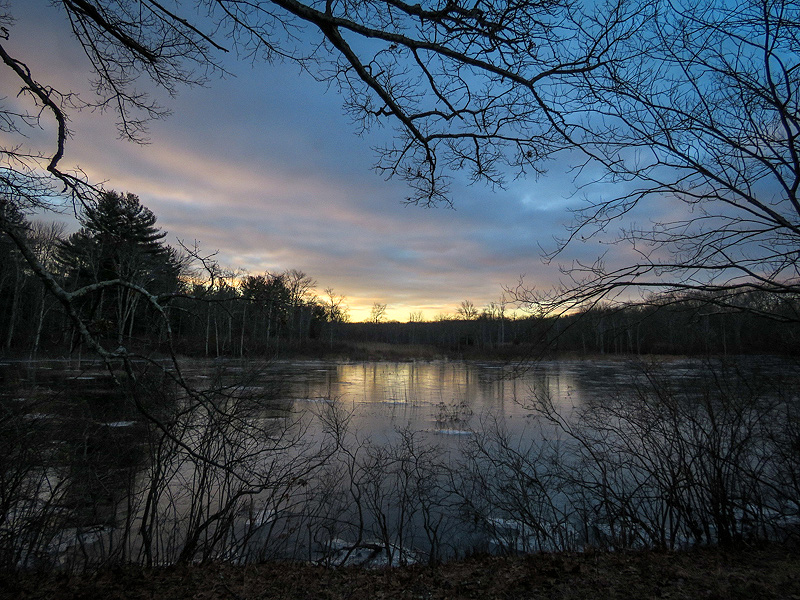
Dawn side. |
|
|
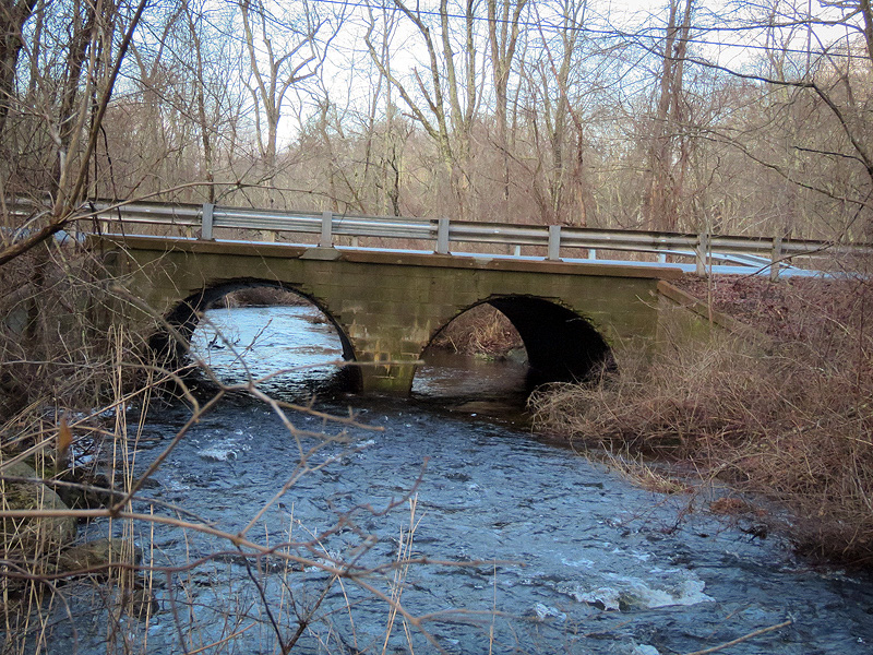
Culverts under Old Colchester Road, running free... |
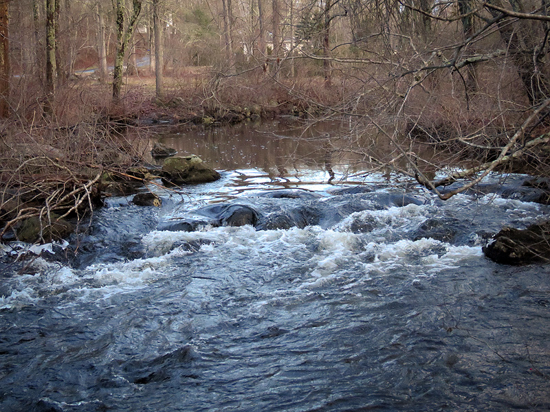
...as is water over the natural (or man made?) boulder dam upstream. |
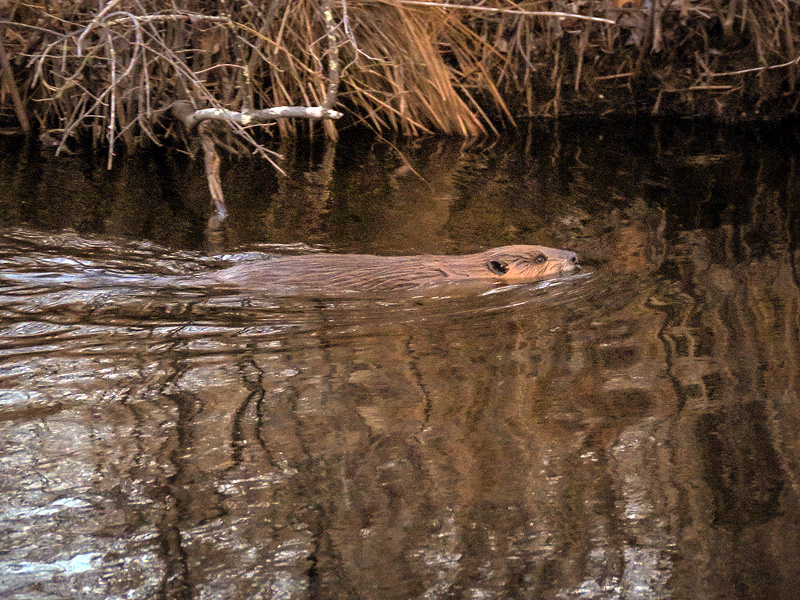
January 10th. A mistaken report of potential flooding at Old Colchester Road, led (in part) to DEEP encouraging a trapper to target Raymond Brook's American Beaver (Castor canadensis) population. The story is more complicated than this, but if the trapper succeeds the chances for trail users to see their first beaver here will be diminished for years. Note: The trapper is well within his rights, trapping legally. If you have concerns and meet him, please don't cause a confrontation. Instead, if you have concerns, please contact DEEP's Ann Kilpatrick (860-424-4144). Ann welcomes this. |
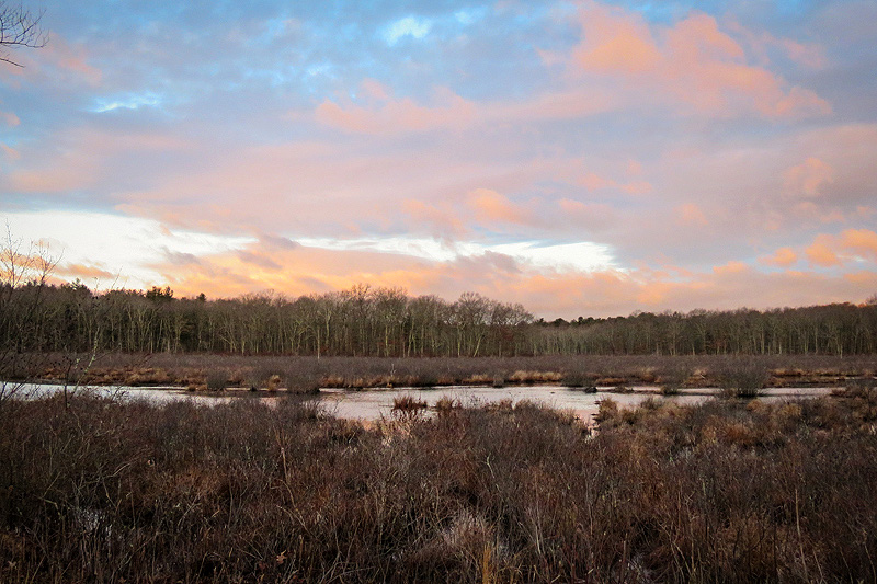
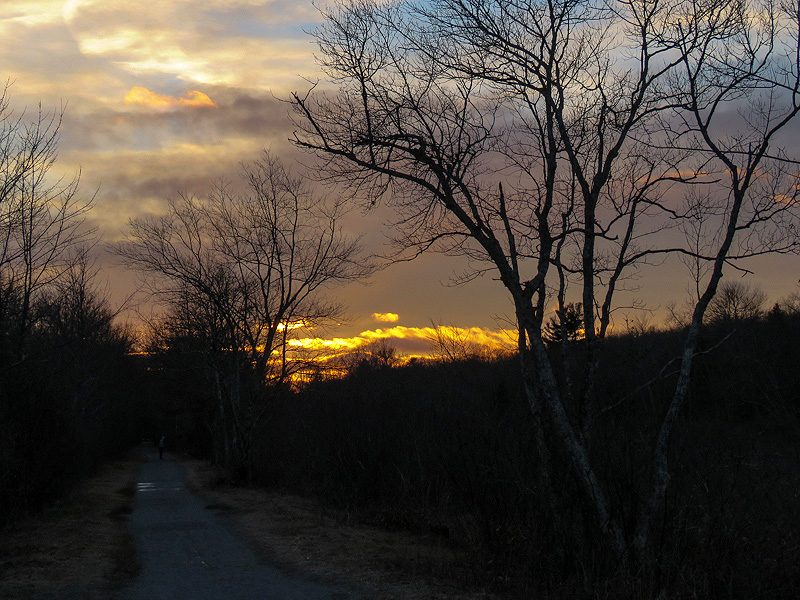
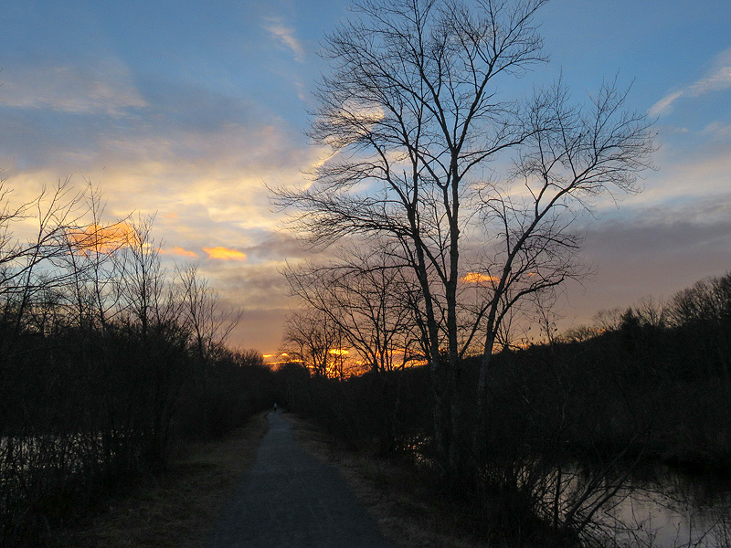
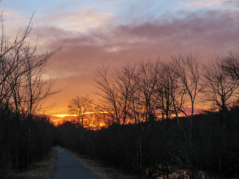
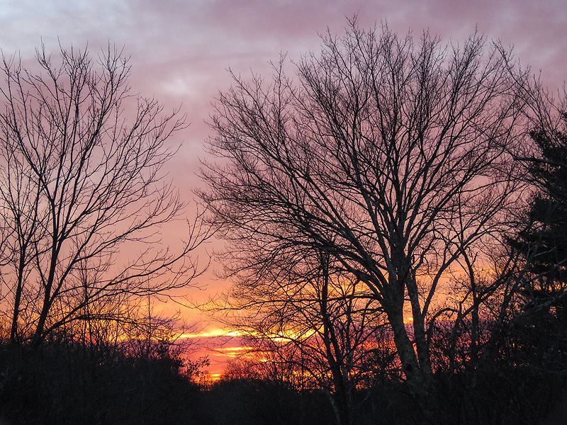
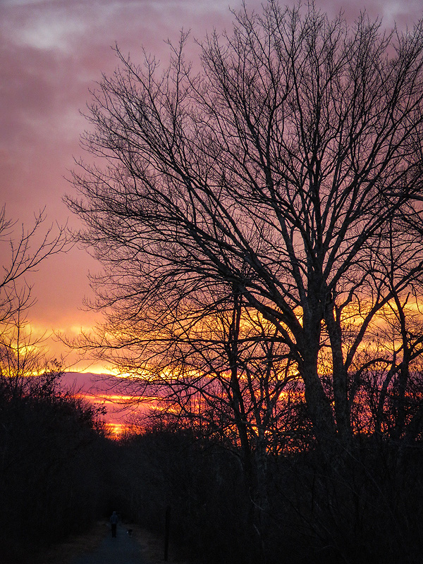
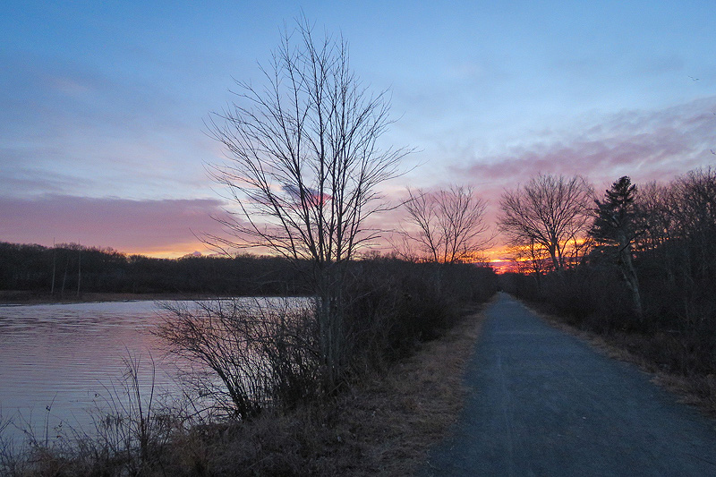
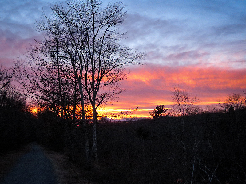
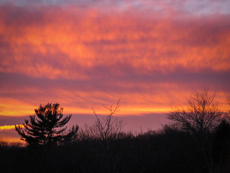
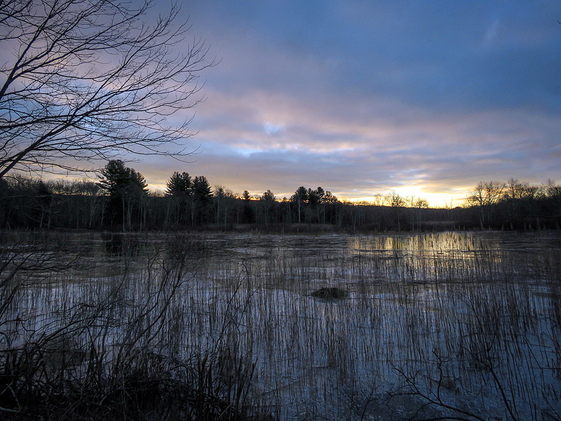
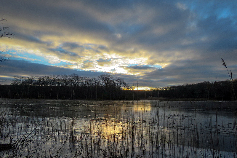
Still December 10th. Sunset. |
|
|
|
|
|
|
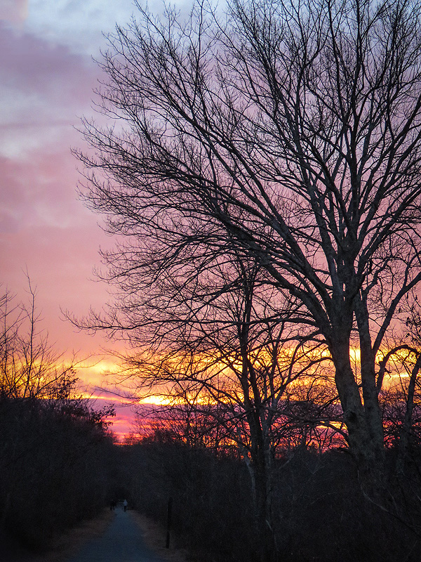
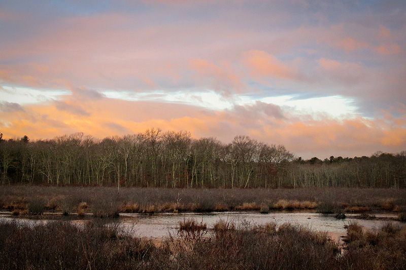
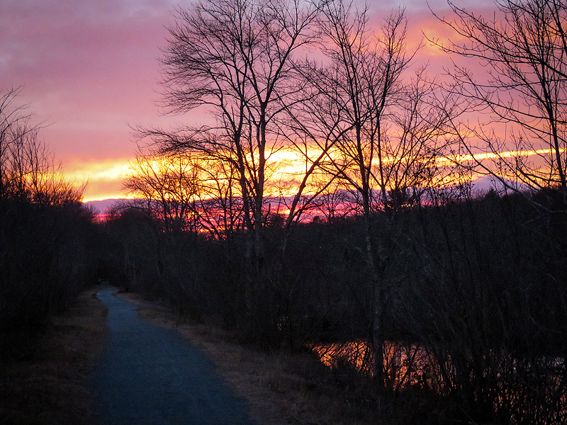
Not so dramatic from a distance... |
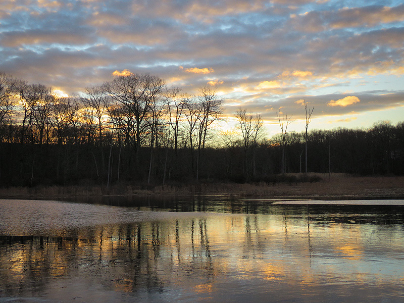
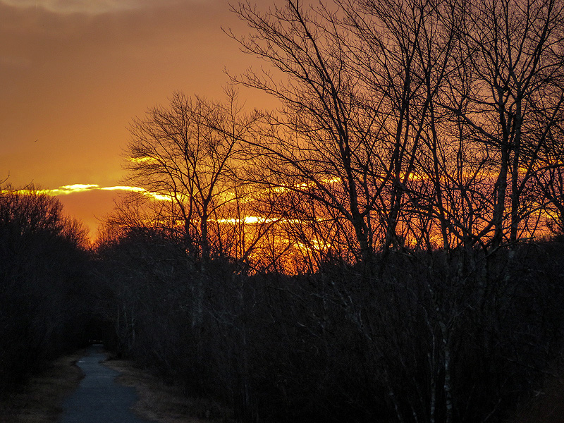
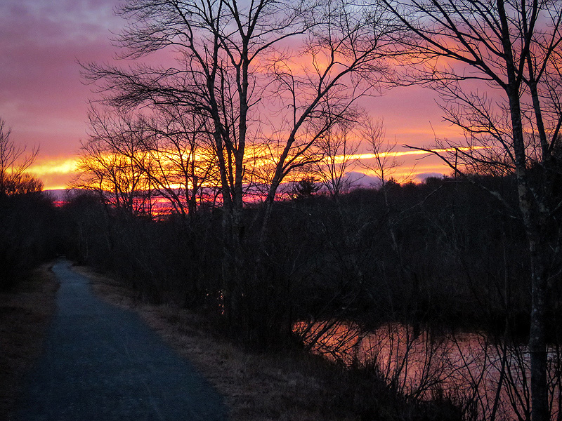
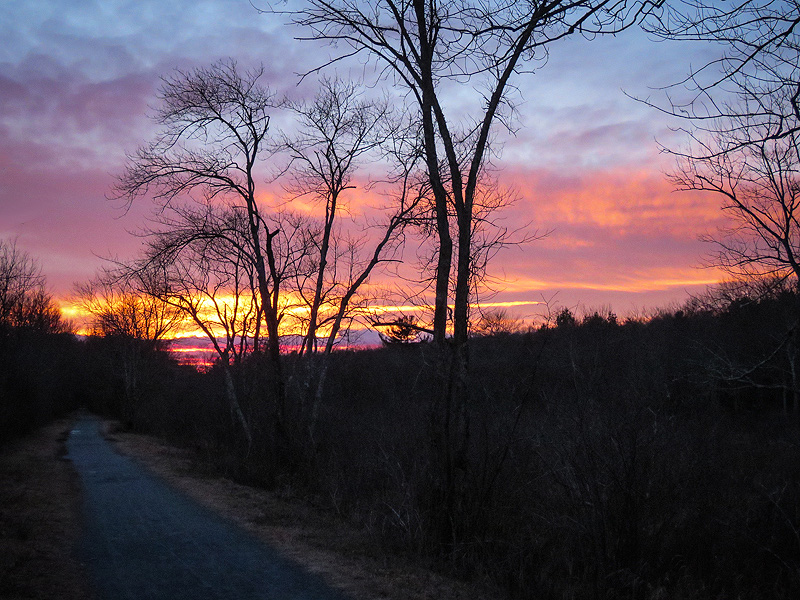
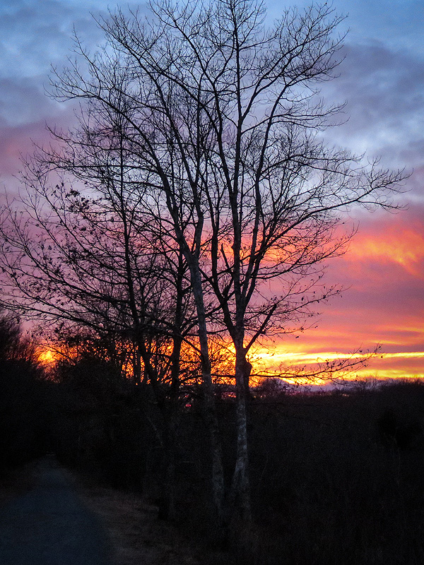
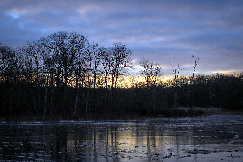
...but increasingly intense as I walked west towards it. |
|
|
|
|
|
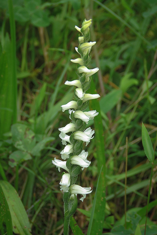
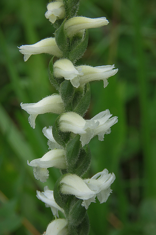
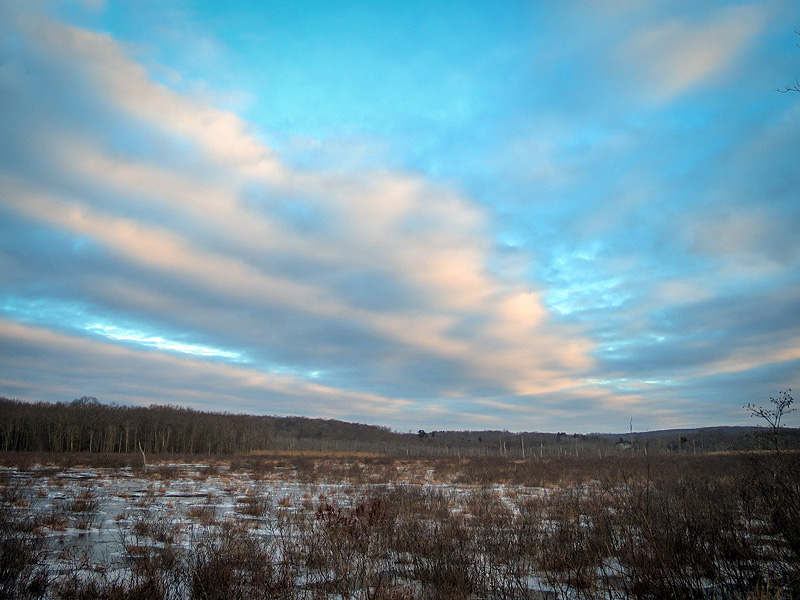
January 11th. I walked the marsh this morning with DEEP's David Buckley (as well as Ann Kilpatrick). David is responsible for State Parks in our portion of Connecticut, and The Air Line Trail South (as our section of the Air Line is called) is one of his responsibilities. David recognizes the need for the trail through Raymond Brook Marsh to be renovated. I concur, especially with regard to sections where the trail bed is depressed and holds water after rains. In winter, these same areas thaw and refreeze, forming slicks. However, David's approach is far more comprehensive: The trail will be elevated about a foot on a firmer base, and in places widened to the 10 foot standard width. Long-clogged culverts may be opened, potentially lowering water levels on the wide southeast side of the marsh, an area already filling in in many places to become a wet meadow. (A natural succession, but do we want to speed it up, increasing the invasion of phragmites while diminishing habitat for fish, turtles, herons and other waterfowl?) Most trees, shrubs, and other vegetation along the trail edges will be sacrificed. Fine if it takes out some of the many invasive plants, especially Tick Trefoil. But I fear for the many birds that nest along this stretch of trail, and for the native wildflowers such as Canada Lily, Blue Flag Iris, Closed Gentian, and even the incredibly scarce Nodding Lady's-tresses Orchid.
|
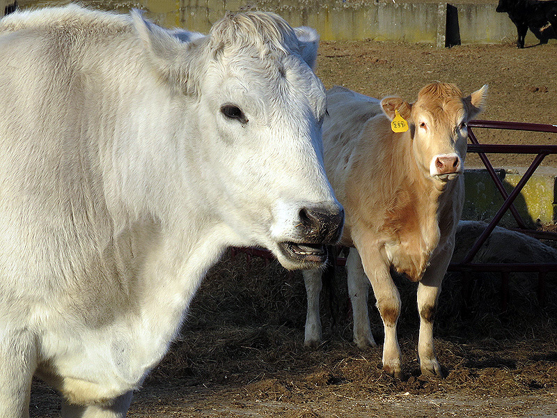
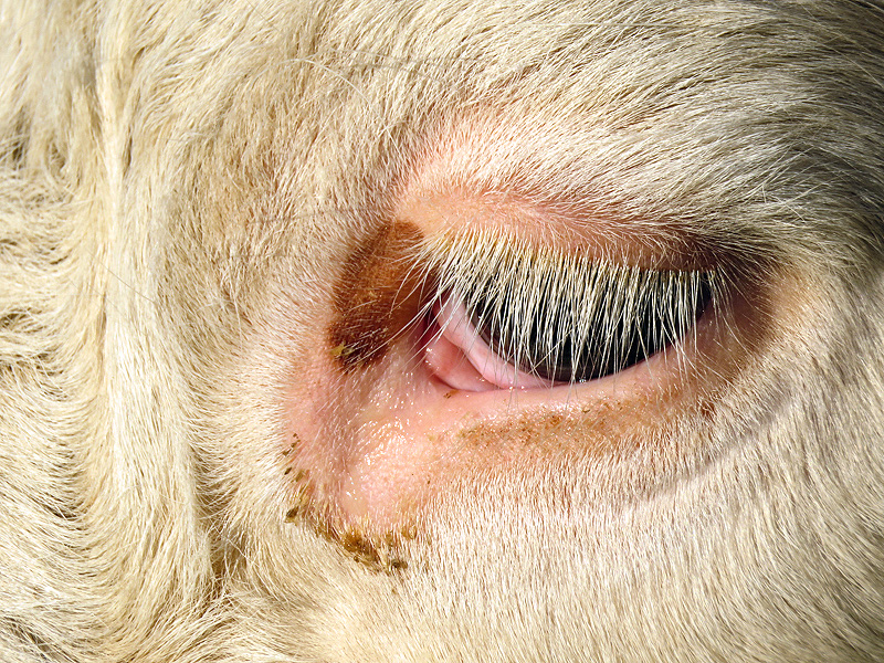
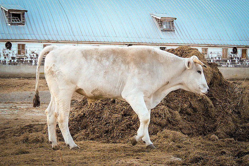
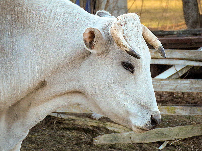
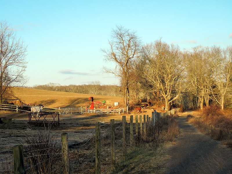
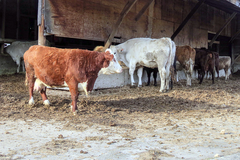
January 16th. A late afternoon walk east from Cook Hill Road. More cattle at the farmyard than I've ever seen there. |
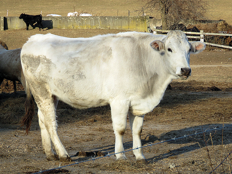
More variety too. |
|
|
|
|
|
|
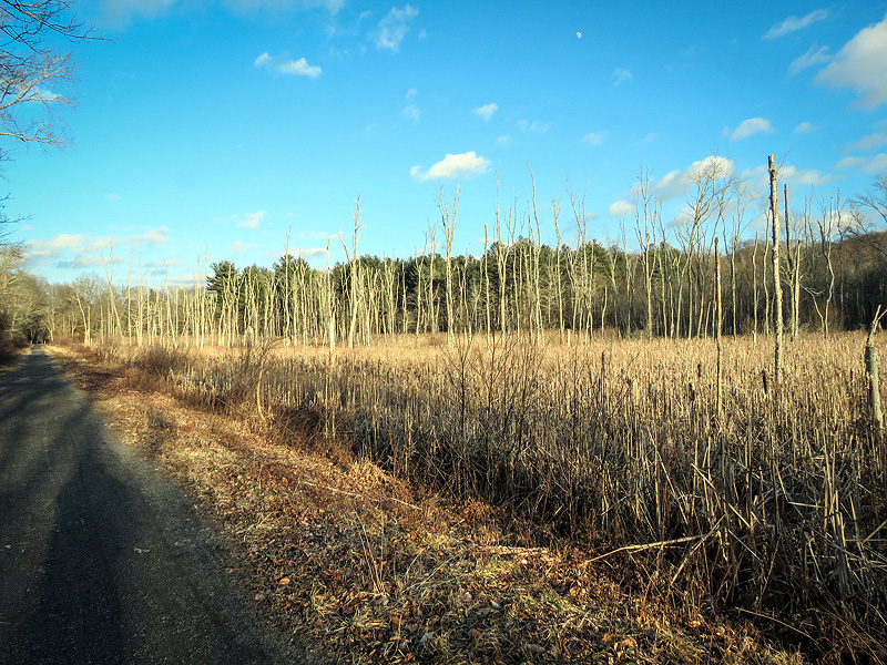
The former marsh pretty much filled in. |
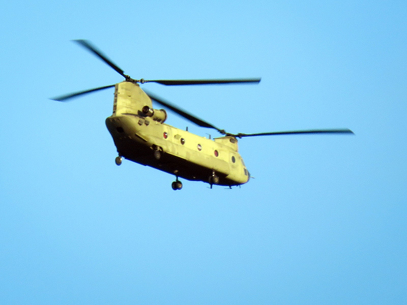
Overhead, a CH-47 Chinook military transport helicopter. |
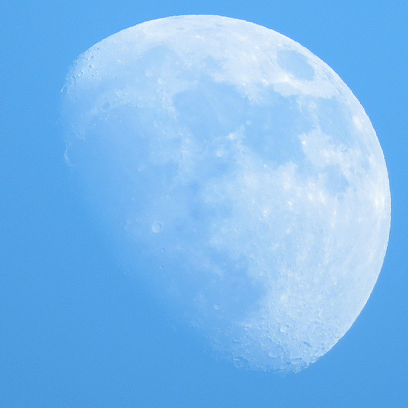
Waxing Gibbous Moon. Continuing my off and on series of "moon shots" as weather permits. |
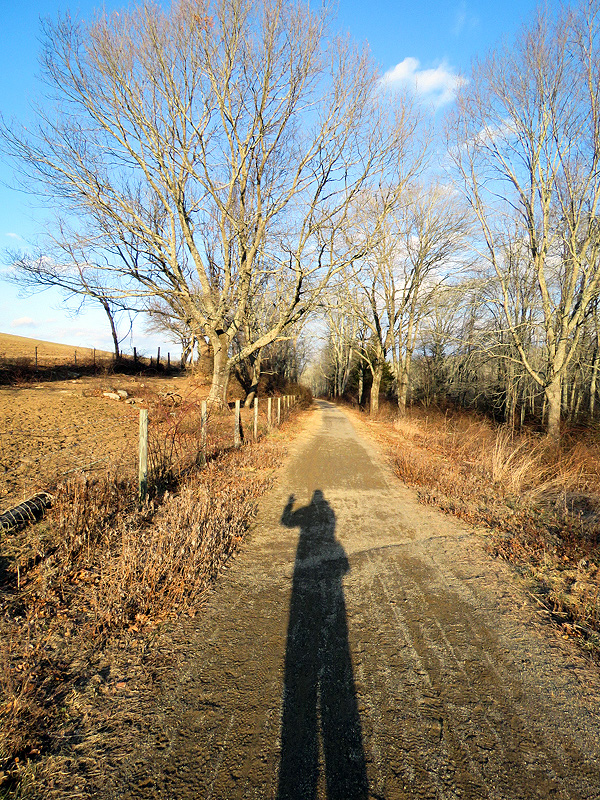
Shadows filling in as I headed back to Cook Hill Road. |
January 19th. Red Cedar (Juniperus virginiana) by the beaver pond just east of River Road. |
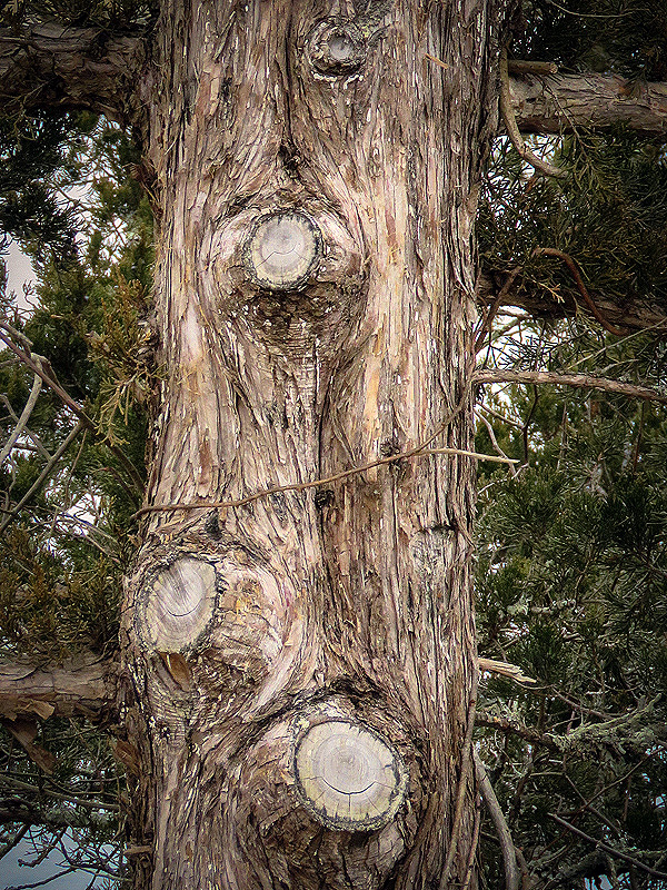
One sided: trimmed back away from the trail. |
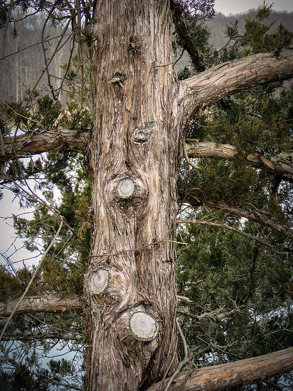
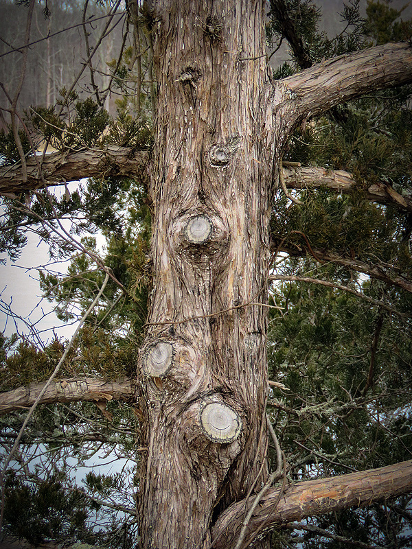
Cedar bark is distinctive, as are the tiny, scaly needles. |
January 25th. Back on the trail after what seemed an eternity of snow, rain, ice, bitter cold, rain, wind, and cold again. |
Lots of branches down in the wooded sections, but less residual ice than I expected. |
Water levels on both sides of the trail are very high. |
Ice remains over much of the marsh. |
|
|

|
|
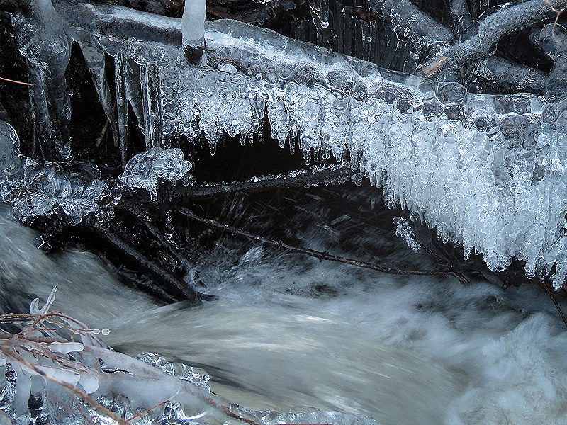
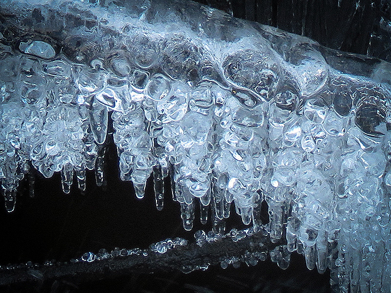
January 27th. Ice over the outlet stream, the result of spray freezing on branches above. |
|
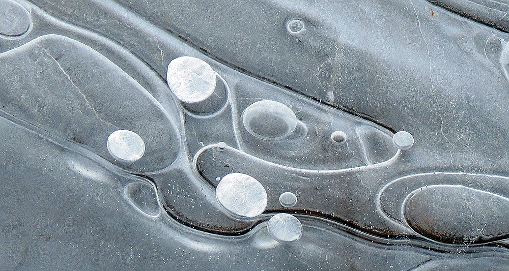
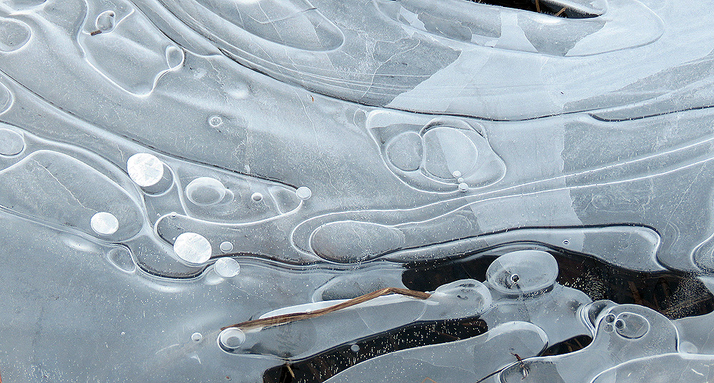
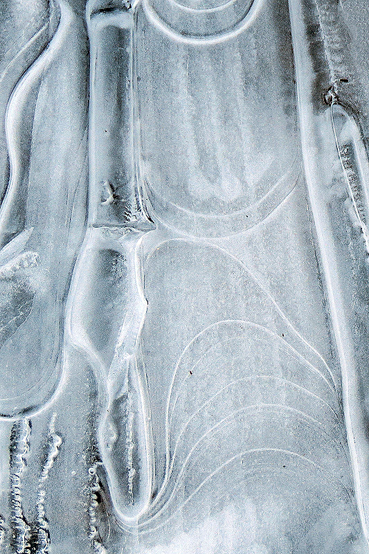
Freezing and thawing cycles, trapping air bubbles. |
|
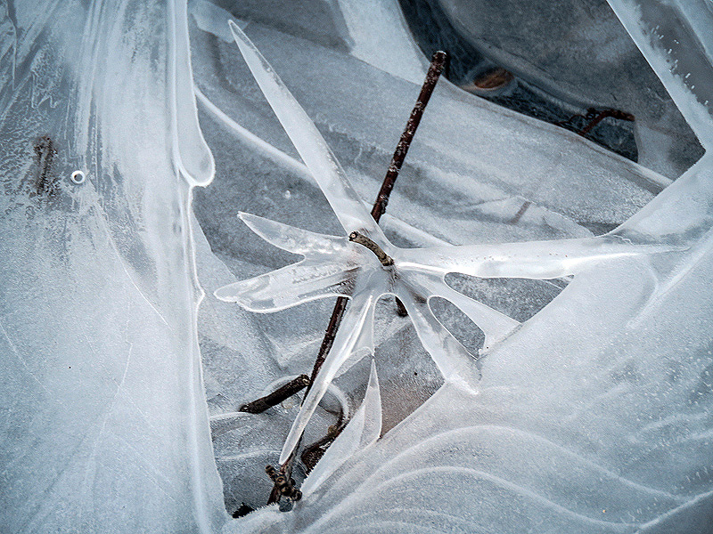
"Dragonfly" amid layers of ice where water level has dropped below. |
|
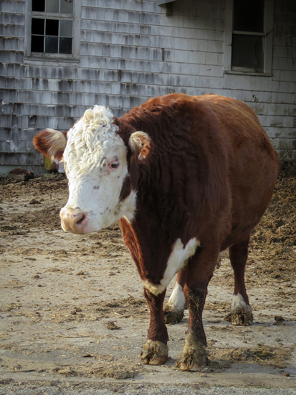
A short afternoon walk east of Cook Hill Road in Lebanon. Feeding time. |
|
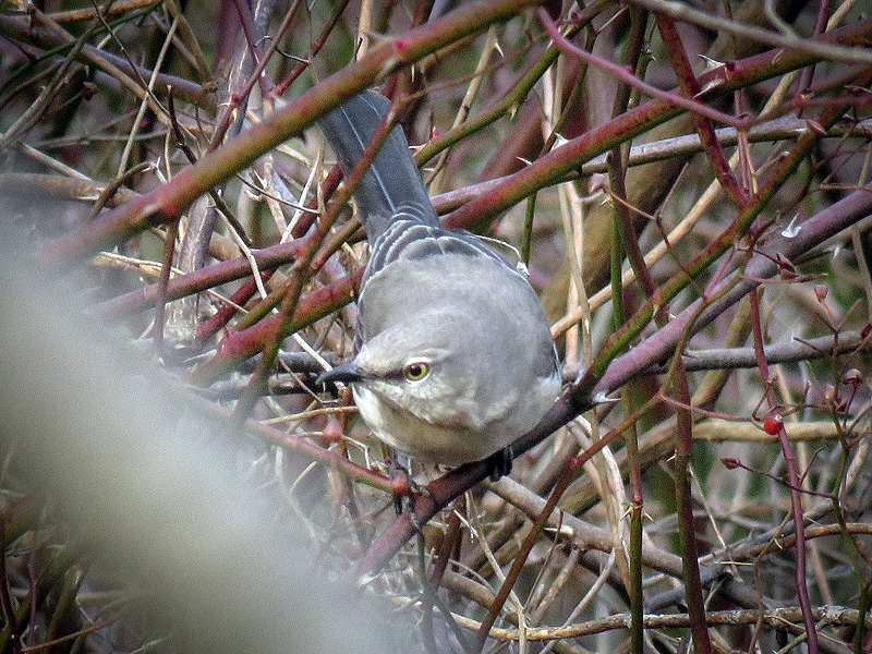
Northern Mockingbird (Mimus polyglottos). The only semi-clear shot I could get. |
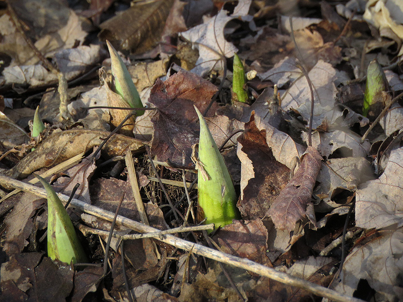
Skunk Cabbage (Symplocarpus foetidus). |
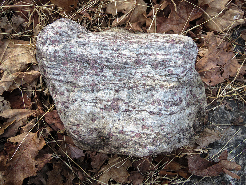
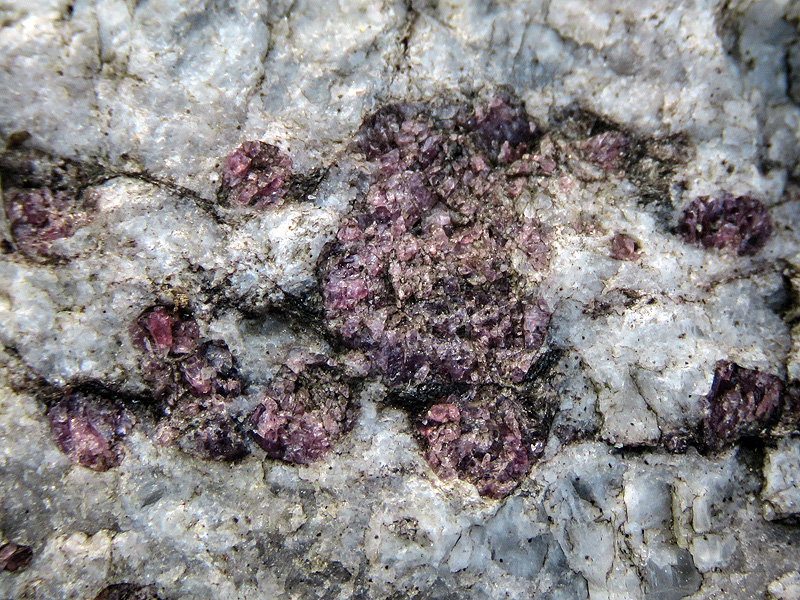
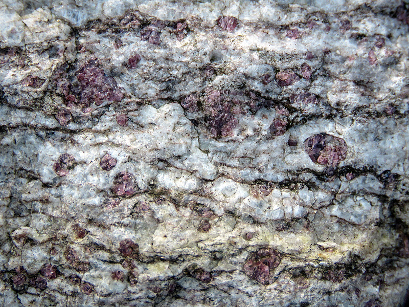
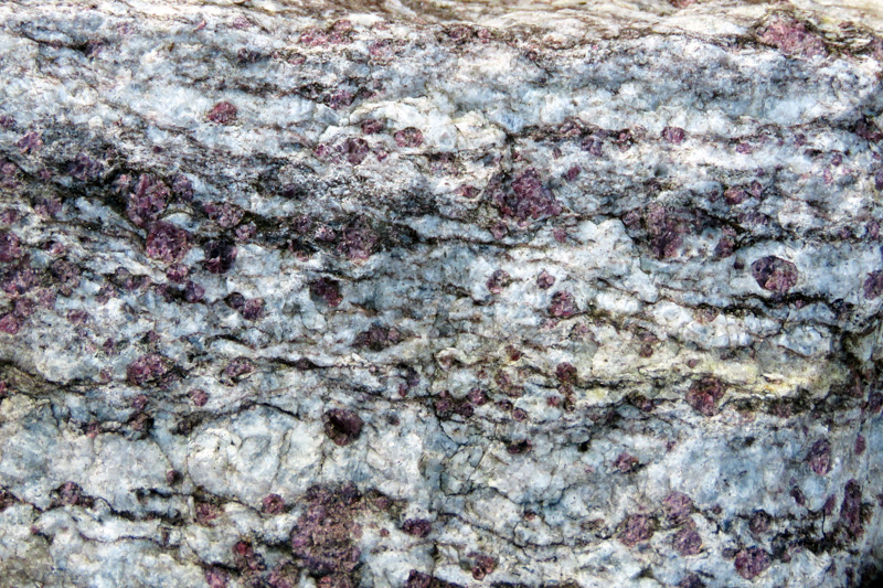
Large rock with embedded garnets beside the trail. |
|
|
|